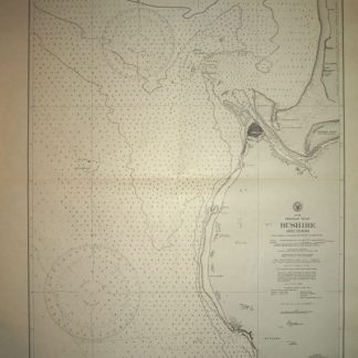
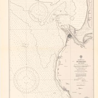
Asia 1:1,000,000 Sheet North H-39 Bushire.
782 x 640 mm. In full colour. E48°-E54°/N28°-N32°. Folded.
$949.00
Third edition of this wartime map of the Bushehr area on the southwestern coast of Persia, on the Arabian Gulf. The city was occupied by British troops during the Anglo-Soviet invasion of Iran; these were replaced by American soldiers in 1942, who installed a military supply route for the Soviet Union through Iran (the "Persian Corridor"). Interestingly, the present map was copied by the German Luftwaffe as early as 1942 and distributed as "Weltkarte 1:1.000.000 (Iran) / H-39/G-39, Bushire. Hergestellt im Auftrage des Generalstabs des Heeres, Abt. für Kriegskarten und Vermessungswesen (II)".
Somewhat dusty and showing slight edge wear. Very rare.
OCLC 1047892528 (a single record).
Related
-
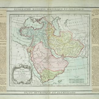
Perse, Turquie Asiatique et Arabie.Paris, 1799.
$502.00 -
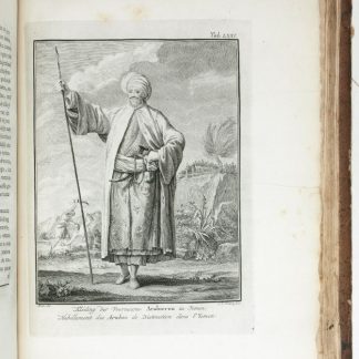
Reize naar Arabië en andere omliggende landen.Amsterdam & Utrecht, 1776-1780.
$6,699.00 -
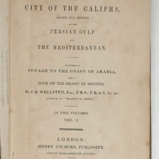
Travels to the City of the Caliphs, along the Shores of the Persian Gulf …London, 1840.
$6,699.00 -
Bushire (Abu Shahr). No. 3656.Washington D.C., 1914.
$893.00